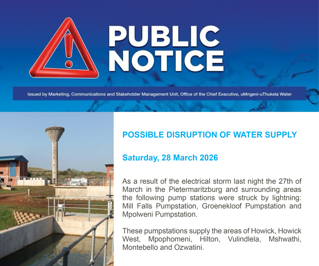
The El Niño Phenomenon – should we be worried?
By Mlungisi Shabalala, 30 May 2023
The last few years have been relatively wet, with many parts of South Africa experiencing above-average rainfall, leading to flooding in several areas. As a result of these good rains, most of the dams managed by uMngeni-uThukela Water consistently maintained high storage levels over the last three years, with the Albert Falls Dam, the largest dam in the Mgeni System, reaching full supply capacity on 31 January 2022 – the first time in seven years. As we approach the winter season, many of uMngeni-uThukela Water’s operated dams are saturated (Table 1), with a few dams kept at low storage levels for safety reasons (i.e. iMvutshane, Hazelmere and Ludeke Dams). Therefore, most systems are in a relatively healthy state and the risk of non-supply to uMngeni-uThukela Water’s customers (municipalities) is very low for the upcoming 2023 winter season. However, wet cycles are generally followed by dry and hot conditions in South Africa, and climate projections indicate that we are approaching the beginning of a dry cycle termed, El Niño.
Table 1: uMngeni-uThukela Water Dam levels on 30 May 2023 relative to the previous week and a similar time last year.

South Africa’s climate is highly influenced by the El Niño Southern Oscillation (ENSO) phenomenon, which loosely translates to wet and dry cycles. The ENSO phenomenon is mainly comprised of two contradictory climate cycles, i.e. El Niño and La Niña, as well as a neutral/normal state in between these two opposite cycles.
How do El Niño and La Niña conditions develop?
During normal (neutral) conditions, trade winds move warm surface water from east to west along the Pacific Ocean. During La Niña years, the trade winds blow stronger than normal years, causing a rapid rise of warm water in the western Pacific Ocean, which results in extreme rainfall events and flooding in eastern Asia, Australia and Southern Africa. El Niño conditions are developed when the normal trade winds weaken and blow eastwards, transporting warm surface water towards the eastern Pacific Ocean, resulting in heavy rain and flooding in South America, while hot and dry conditions prevail in eastern Asia, Australia and Southern Africa. Figure 1 shows the typical rainfall patterns during El Niño cycles.

Figure 1: The typical rainfall patterns during El Niño cycles. Source: International Research Institute for Climate and Society (IRI).
The latest climate models indicate a strong likelihood for El Niño conditions towards the latter half of 2023, for example, predictions by the International Research Institute for Climate and Society (Figure 2). El Niño and La Niña conditions typically last for 9-12 months, but can also extend up to a few years. Although the frequency of both cycles is irregular, the El-Niño cycle occurs more frequent than La Niña. El-Niño typically occurs every 3-4 years, while La Niña occurs every 2-7 years.
What are the effects of El Niño?
In southern Africa, El Niño conditions are associated with high air and surface temperatures, as well low precipitation levels. These conditions can lead to droughts, which have negative socioeconomic implications such as loss of agricultural product, high food prices, water shortages and poor water quality. In addition, droughts can lead to diseases and exacerbated poverty. Figure 2 below shows the latest ENSO status and projections from the IRI, indicating a 90% likelihood of El Niño conditions over the upcoming summer.

Figure 2: Latest ENSO predictions. Source: IRI.
Should we be worried?
The most recent El Niño cycle occurred during 2015-2016 and this triggered a drought in South Africa. Low precipitation conditions dominated many parts of the country up to 2021, the beginning of the currently subsiding La Niña cycle. For example, a national state of disaster was declared in South Africa’s three Cape Provinces in 2021, as they were experiencing the worst drought in 100 years. Similarly, areas like Cape Town, Tzaneen, Qheberha and KwaZulu-Natal continued to experience low rainfall conditions and water shortages beyond the end of the previous El Niño cycle. Therefore, if history is anything to go by, the predicted El Niño cycle may lead to water shortages, which may extend beyond the end of the El Niño cycle.
It is important for water resources managers to closely monitor the ENSO signal, local weather conditions and dam levels in order to prepare for, and manage the impacts of the projected El Niño cycle. In addition, it is important for water users to be more proactive and contribute towards reducing the potential impacts of the projected El Niño cycle. Actions such as reducing time spent in our showers, recycling water for non-potable household uses and reporting leaks can make a significant difference. Such actions will reduce the demand for the limited water resource which will, in turn, enhance water resources availability.